Our dedicated team of geomatics professionals uses industry leading methods to capture, manage, analyze and interpret data for a diverse range of projects. We leverage dynamic survey techniques, 3D scanning and modeling, interactive mapping and many other tools and techniques to help our clients and project teams see more clearly, visualize more accurately and comprehend more fully.
2D and 3D Modeling
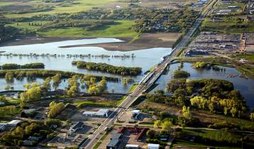
We use many aspects of digital modeling to assist with design and construction, and to predict possible behaviours. 3D modeling allows project teams to visualize complex, multi-disciplinary projects during design, enabling clash-free project development and smoother construction. Our experts also use modeling technologies to predict possible flood scenarios, design landfills and develop subsurface geological models.
Our modeling expertise includes:
- topographic (bare earth/full feature) models
- bathymetric models
- geological modeling
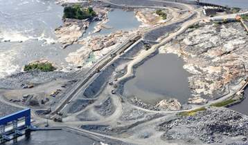
Pointe du Bois Spillway Replacement
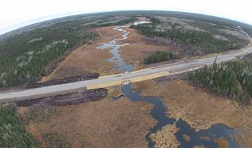
PR 304 to Berens River All Season Road