Our dedicated team of geomatics professionals uses industry leading methods to capture, manage, analyze and interpret data for a diverse range of projects. We leverage dynamic survey techniques, 3D scanning and modeling, interactive mapping and many other tools and techniques to help our clients and project teams see more clearly, visualize more accurately and comprehend more fully.
Survey & Field Services
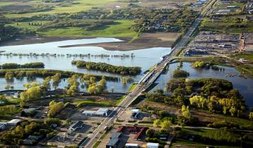
Site surveying is a key function of many projects ranging from small road renewals to massive hydro developments.
We’re continuously updating our skillset, always evolving with new technologies to better meet our client’s survey and field work needs in many industries. We also believe client satisfaction should come first on every project. That’s why we take the time to thoroughly plan out our on-site strategies. With this approach, quality data is collected in the field, ready for interpretation and application.
We offer the following survey and field services:
- topographic surveys
- bathymetric surveys
- geophysical surveys
- precision work
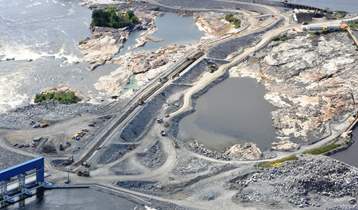
Pointe du Bois Spillway Replacement
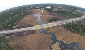
PR 304 to Berens River All Season Road