Our dedicated team of geomatics professionals uses industry leading methods to capture, manage, analyze and interpret data for a diverse range of projects. We leverage dynamic survey techniques, 3D scanning and modeling, interactive mapping and many other tools and techniques to help our clients and project teams see more clearly, visualize more accurately and comprehend more fully.
Geographic Information Systems & Data Management
For several decades, we’ve used GIS technologies to better understand landscapes and the built environment for a broad range of projects.
Our GIS specialists deliver accurate data to assist with project decision-making and use the latest technologies to help manage, analyze, display and visualize this information. We also host online GIS databases for our clients, enabling them to share maps or other data safely and securely.
Our GIS and data management services and tools include:
- mapping
- data analysis
- data management
- web mapping and data hosting
- remote sensing
- data processing and quality analysis and control
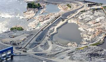
Pointe du Bois Spillway Replacement
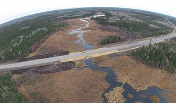
PR 304 to Berens River All Season Road